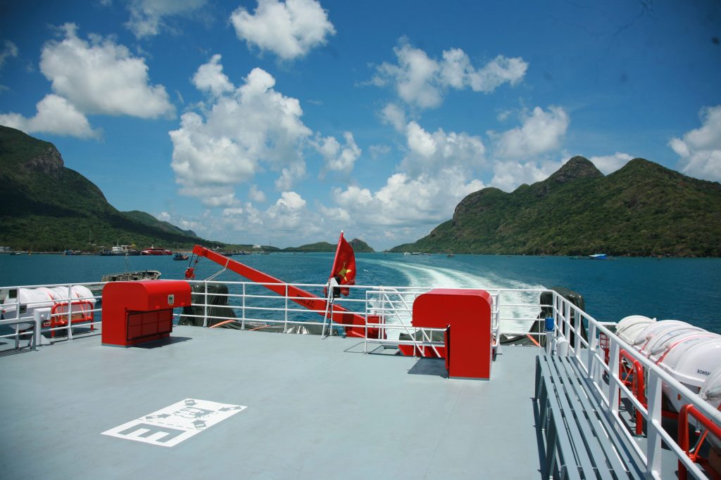
Phú Quý Island is one of Vietnam’s nearshore islands, located approximately 120 kilometers southeast of Phan Thiết City. Covering a natural area of 16 square kilometers, the island holds a strategic role as a “frontline outpost,” vital to national defense, maritime security, and economic development. It plays a key role in the overall defense posture of the South Central Coast, southern provinces, and the country as a whole.
Phú Quý—also known historically as Cù Lao Thu or Cù Lao Khoai Xứ—is a small island district under Bình Thuận Province. Its approximate distances to nearby locations are:
- 120 km southeast of Phan Thiết City,
- 540 km northwest of the Spratly Islands (Trường Sa),
- 150 km south of Cam Ranh Town (Khánh Hòa Province),
- 330 km northeast of Côn Đảo,
- 200 km east of Vũng Tàu City.
In addition to the main island, there are several smaller surrounding islets including Hòn Đá Cao (northwest), Hòn Đỏ (northeast), Hòn Tranh and Hòn Hải (southwest).
History of Phú Quý Island
Phú Quý Island has appeared in ancient historical records under various names such as Cổ Long, Thuận Tịnh, Cù Lao Khoai Xứ, and Cù Lao Thu. In the 4th year of the Tự Đức era (1844), due to its rich resources and specialty goods tribute to the royal court, the island was renamed from Tổng Hạ to Tổng Phú Quý, under Tuy Phong District, Ninh Thuận Prefecture, Bình Thuận Province. Today, it is officially one of the offshore island districts of Bình Thuận.
Despite its isolation in the open sea, archaeological evidence suggests that Phú Quý was inhabited very early. Excavations have uncovered large burial jars containing tools such as axes and chisels, as well as finely crafted stone bracelets, hinting at a pre-existing indigenous population known as the “Thượng people” who lived off fishing and foraging.
Later waves of migration brought settlers from the mainland. The development of sailing technology enabled these migrants to reach the island. Among early groups were the Chăm people, evidenced by the legend of Princess Bàng Tranh, who was exiled here after defying her father, the king.
Many Kinh settlers also arrived to escape oppressive regimes or famine. During the Trịnh–Nguyễn civil war (1627–1672), fishermen from the central coast fleeing war or searching for fishing grounds often landed on the island after being blown off course.
A number of Chinese migrants (Hoa people), especially Ming loyalists fleeing the Qing dynasty in the 17th century, also settled on Phú Quý. They engaged in trades such as silk weaving and commerce, though many eventually moved to the mainland.
As the population grew, rudimentary forms of local governance were established. During the reign of King Lê Hiển Tông (Cảnh Hưng era, 1740–1786), the island was organized into hamlets and villages. Despite a modest population, the island had 14 villages and one hamlet. By the reign of Emperor Đồng Khánh (1886), this was reduced to 11 villages. In 1930, after mergers, there remained 9: Long Hải, Phú Mỹ, An Hòa, Hải Châu, Thương Hải, Quý Thạnh, Triều Dương, Mỹ Khê, and Hội An. Today, Phú Quý is divided into three communes: Long Hải, Ngũ Phụng, and Tam Thanh.
Traditionally, Phú Quý had a self-sustaining economy based on fishing, farming, and handicrafts such as weaving and oil pressing—with fishing playing a central role.
Development Potential of Phú Quý Island District
In recent years, thanks to the efforts of local authorities and residents, supported by Bình Thuận Province and the central government, Phú Quý has experienced significant progress. The adoption of modern fishing technologies has boosted local incomes.
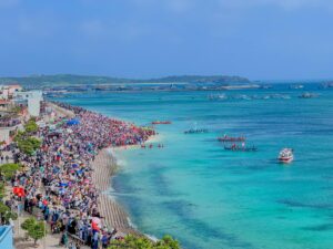
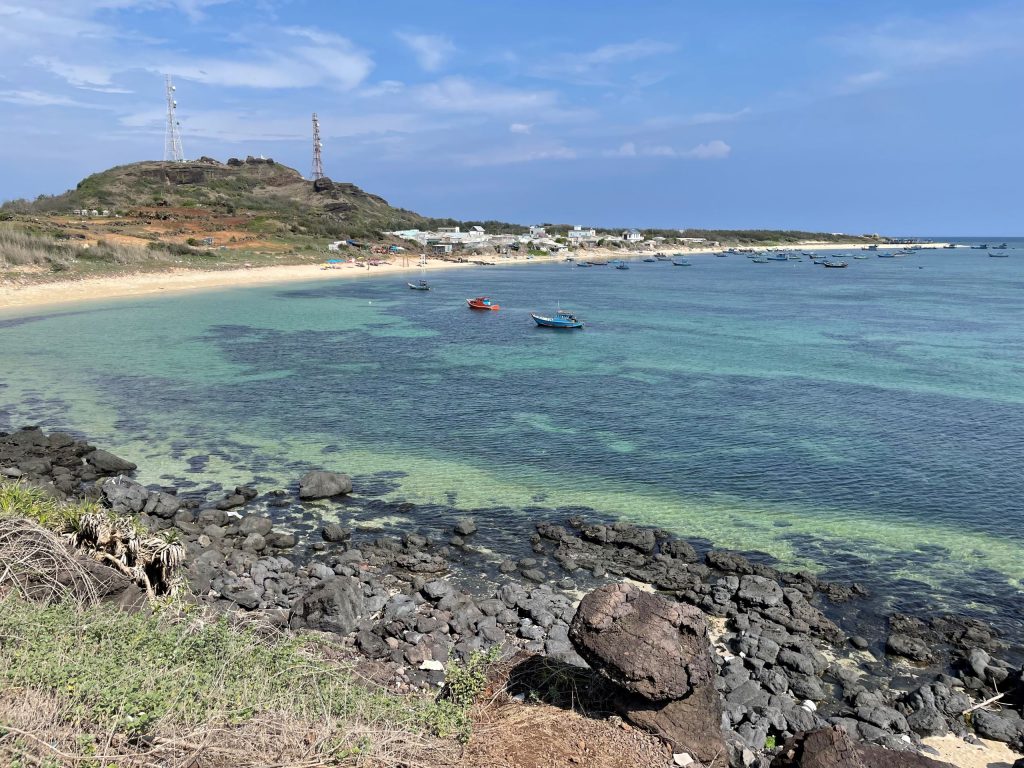
Phú Quý is also emerging as an eco-tourism destination, with pristine air, clear turquoise waters, and seabeds visible at depths of 5–7 meters. Coral reefs surround the island, boasting diverse species and dense coverage. This makes it ideal for nature tourism, recreational activities, sport fishing, and cultural-historical tours.
Looking ahead, Phú Quý is aligning its development with the Resolution No. 36-NQ/TW of the Central Committee (12th Tenure) on Vietnam’s sustainable maritime economic development strategy through 2030, with a vision toward 2045. The district aims to harness its natural and cultural strengths to create diverse, sustainable tourism products, contributing to economic growth, improved living standards, and national defense. Phú Quý is well-positioned to be a strategic “frontline outpost” of the South Central Coast.
Geology and Climate of Phú Quý
Phú Quý Island was formed millions of years ago by volcanic activity. The island covers an area of 23 km² and is encircled by coral reefs. The continental shelf has a maximum depth of 42 meters. From the east, the island resembles a dragon; from the north, a mackerel; and from the southwest, a whale surfacing.
Unlike many mountainous islands, Phú Quý is relatively flat, with three modest peaks:
- Mount Cấm (108m), the highest point and location of the island’s 28-meter lighthouse built in 1996.
- Mount Cao Cát (85m),
- Mount Ông Đụn (45m).
The island’s lowest point is Triều Dương Beach, just 2 meters above sea level.
Phú Quý features many capes, coves, and beaches such as: Doi Dừa, Doi Ông Tỉnh, Doi Thầy, Chà Tre Cove, Bãi Lăng Cove, Dù Cove, Chùa Cove, Chỏi Cove, Ông Bền Cove, Cây Thẻ Cape, Gành Hang Cape, Láng Beach, Phủ Beach, Nhỏ Beach, and Trâu Nằm Cape.
With its clean air, clear waters, coral reefs, unique rock formations, and lush coconut groves, Phú Quý is a favorite destination for both locals and visitors seeking relaxation and exploration.
The island’s average temperature ranges from 23°C to 28°C. Influenced by monsoons, the southern wind season runs from May to August, while the northern monsoon lasts from September to April. Strong winds and storms often affect the island in late year months. Annual rainfall averages 1,000 mm, mostly concentrated in May and June. Overall, the climate is mild year-round.
Islets of Phú Quý District
- Hòn Tranh: Located 600 meters southeast of Phú Quý port, covering 2.8 km². Once uninhabited, it is now used for reforestation and hosts a naval radar station.
- Hòn Đen: Northeast of Long Hải Commune, 1.5 km offshore. Composed of solid basalt rock, accessible on foot during low tide.
- Hòn Trứng: Northwest of the island, 13 km from Phú Quý. A shelter for fishing boats, depending on seasonal winds.
- Hòn Giữa: A sharp rocky reef connecting Hòn Đen and Hòn Đỏ in Long Hải.
- Hòn Đỏ: Northeast of Long Hải, 1.5 km offshore, named for its red rocks.
- Hòn Hải: 70 km from Phú Quý, a square-shaped rock that serves as point A0 in Vietnam’s baseline for territorial sea measurement.
- Hòn Đồ Lớn: 60 km southeast of Phú Quý, formed by an undersea volcanic eruption in 1923. Now a 700m x 500m submerged rocky area.
- Hòn Đồ Nhỏ: 60 km south of Phú Quý.
- Hòn Đá Tý: Just 80–100 meters from Phú Quý.