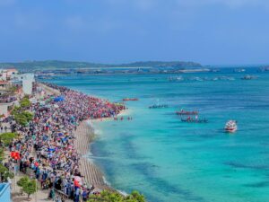
Between February and March 1923, a volcano awakened in the skies and seas around Phú Quý. According to local folklore, at the end of the lunar year, when the weather was calm and the sea was still, suddenly the island began to shake, causing seasickness among the people. Everything trembled—houses and trees swayed and leaned.
The residents of Hòn (the local name for Phú Quý Island) were terrified and ran for shelter, fearing the sky was about to collapse. A column of smoke and fire erupted, accompanied by thunderous explosions offshore around the Phú Quý archipelago. It was a unique spectacle in this maritime region. Reports said the seismic aftershocks even reached Phan Thiết. This geological event created an island that the people of Phú Quý called Hòn Tro (Ash Island).
According to geographic documents from the Ho Chi Minh City University of Education:
“On February 15, 1923, large parts of the Hòn islet (Phan Thiết) experienced strong and continuous tremors lasting a week. Sailors aboard the Japanese ship Vocasamar passing by witnessed a dense column of black smoke and steam along with loud explosions. On March 8, 1923, the islet emitted gray-black and light-gray substances including steam and mud. Before eruptions, many explosions sounded like bombs, and bright mud and rocks were ejected.”
“By March 15, 1923, the volcano ceased erupting, but the island remained hot and simmering. On March 20, 1923, an earthquake occurred and the volcano erupted again. Before this activity, on February 8, 1923, a British Royal Navy ship passing nearby also detected another island about 3.7 km from Hòn Tro, which erupted a 12-meter-high volcanic column with strong whirlpools around it.”
The sudden emergence of these volcanic islands attracted the close attention of contemporary scientists. According to researcher Trần Tân Mỹ, on March 13, 1923, a French hydrological survey team in Indochina was ordered to investigate the newly formed island in the Phú Quý archipelago. By March 17, 1923, they conducted a field survey and mapped the Hòn Tro area, submitting their findings to the French Academy of Sciences.
“The island was formed from piles of lightweight black porous debris — obviously volcanic ash — hence its name, Hòn Tro. Denser blocks were found in many places, especially on the highest mound measuring 0.75 meters tall and 0.5 meters wide. The island had a horseshoe or crescent shape with two ends cut sharply into vertical cliffs, indicating a collapse had occurred. Overall, the island was loosely consolidated and unable to withstand sea waves. Steam and ash were emitted from a crater opening. Depth soundings showed the small island was very steep; 150 meters from shore, the water was over 30 meters deep; 1 km offshore, the depth was 100 meters” (according to Trần Tân Mỹ).
The survey team also heard from Phú Quý residents about strong seismic tremors on February 12 and 16, 1923, which then gradually decreased until February 22, 1923. Three months later, the island submerged beneath the sea, leading some to call Hòn Tro the “ephemeral island.”
Has the Hòn Tro volcano permanently ceased activity?
A 2008 thesis titled “General Geological Study: Understanding Volcanoes” by a geography student at Ho Chi Minh City University of Education suggests:
“The Hòn Tro volcano may erupt again. Establishing a seismic observation station on Phú Quý Island near the Hòn Tro volcanic cluster to monitor and forecast volcanic activity based on seismic signals before eruptions is very necessary.”
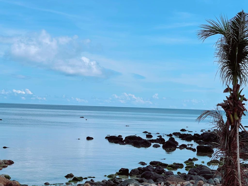
From the peak of Núi Cấm on Phú Quý Island, I gaze far out to sea. Long ago, Hòn Tro sank beneath the waves and now remains only in folk memory and scientific documents. Who knows — perhaps one day the volcano will awaken again. Nature always holds many mysteries and surprises.
Standing atop Núi Cấm, looking out to sea, Hòn Tro lies submerged, preserved only in folk memory and scientific records.
— Extracted from Tuổi Trẻ Newspaper