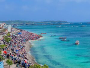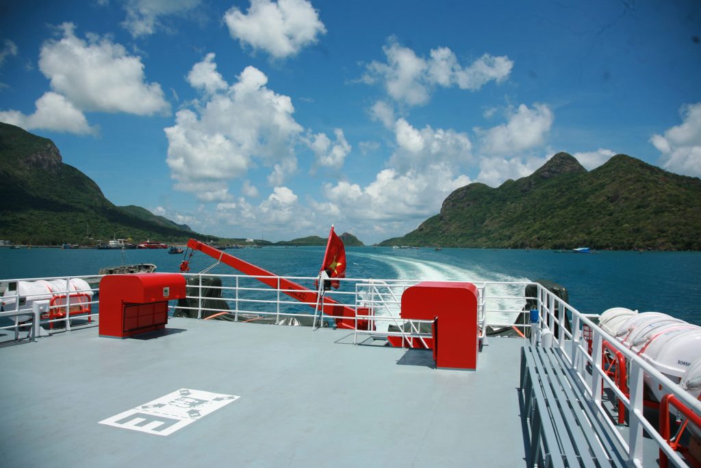
Phú Quý is now an island district belonging to Bình Thuận Province, located in the southern part and in the middle of the East Sea (South China Sea), positioned between 108°55’ to 108°58’ East longitude and 10°29’ to 10°33’ North latitude.
The main island is about 120 km from the mainland, measured from Phan Thiết city. It is 540 km west of the Spratly Islands, 150 km northwest of Cam Ranh city, Khánh Hòa Province, 200 km south of Vũng Tàu city, and 330 km northeast of Côn Đảo. The total area of the main island and surrounding small islands is approximately 18 km².
The Phú Quý archipelago includes the main island plus 10 smaller islands. Among them, only Hòn Tranh is inhabited; the other islands are either uninhabited or have only Vietnamese naval outposts. The islands are as follows:
Hòn Tranh
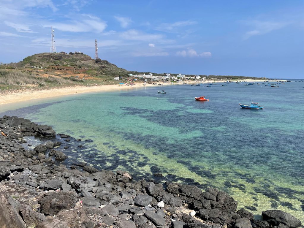
Hòn Tranh is a special S-shaped island located about 1 km from the main island, to the southeast of Phú Quý, covering nearly 2.8 km². It was once a wild island covered mainly with grass. By the end of 2018, it was home to 4 households with about 10 people living by farming and animal husbandry. Currently, it hosts a radar observation station of the Vietnamese navy.
Among the more than 10 islands in Phú Quý district, Hòn Tranh is the largest and the most popular destination because of its stunning scenery and diverse ecosystem. Surrounded by high mountain ridges that block the wind, the sea around Hòn Tranh is extremely calm and peaceful year-round. The island also boasts vibrant natural coral reefs, allowing visitors to immerse themselves in clear water while admiring nature’s masterpieces.
Hòn Trứng
Located northwest of the main island, about 10 km away, Hòn Trứng serves as a shelter for many boats during the southern monsoon season. Boats can anchor on the north side in the south wind season and on the south side during the north wind season.
Hòn Đen
Also called Hòn Nghiên or Hòn Mực, Hòn Đen lies northeast of the main island, about 1.8 km away in Long Hải commune. It consists entirely of basalt rock that has not weathered. At low tide, it is possible to wade to Hòn Đen. This island is rich in rare marine species such as moray eels, sea cucumbers, sea urchins, various fish, and seaweed.
Hòn Giữa
This is a sharp rocky ridge situated between Hòn Đen and Hòn Đỏ, forming a natural “bridge” connecting these two islands in Long Hải commune. Hòn Giữa is not suitable for tourism as it is just small protruding rocks without an open area for tourism activities.
Hòn Đỏ
Also called Hòn Son or Hòn Bút, Hòn Đỏ lies northeast of the main island, about 1 km offshore, named for its red-colored rocks. Along with Hòn Đen, it belongs to Long Hải commune and has abundant marine biodiversity including various marine plants and animals. These small islands are famous for their beautiful scenery and clear blue waters, attracting visitors for exploration and recreation in harmony with nature.
The journey begins at Long Hải fishing port, taking about 20 minutes by boat to Hòn Đỏ, where visitors can swim, fish, and snorkel freely. Boat trips to Hòn Đen are only possible during the calm southern monsoon season; strong northeast winds make travel unsafe in other seasons.
Hòn Hải
Also called Hòn Khám, about 65 km from the main island, it is a tall, vertical rock formation over 100 meters high, resembling a traditional Vietnamese shrine pedestal. It is a key base point on Vietnam’s maritime baseline (point A6) used to calculate the country’s territorial waters. Its coordinates are approximately 9°58’ N, 109°5’ E.
Known internationally as Poulo Sapate, Hòn Hải is located about 65 km from Phú Quý Island. It has a unique shape resembling a shoe, roughly 130 meters long and 60 meters wide, with its highest point 113 meters above sea level.
From the sea, Hòn Hải’s mesmerizing and strange beauty captivates visitors instantly. Its silhouette changes with perspective—sometimes looking like a shoe, sometimes a rounded rock, or even a whale. Visitors who have set foot here are awed by its mystical landscape.
Over the years, natural erosion by wind and sea has sculpted winding ridges around the island like delicate brush strokes by an artist. Circling the island inspires a sense of triumph at conquering a natural marine wonder. The vast blue sky and ocean horizon, dotted with drifting clouds and foaming waves, complete the breathtaking view.
Due to its strategic national defense importance and dangers to passing ships, the Ministry of Defense built a lighthouse and related facilities on Hòn Hải.
Hòn Đồ Lớn
Also known as Hòn Bố, this island lies about 49 km southeast of the main island. It consists of many rocky reefs visible at low tide and formed relatively recently in 1923 due to underwater volcanic activity. Initially circular with a 40-meter diameter, it has white sand on the surface and gently sloping terraced edges. Now it forms a submerged reef about 700 meters long and nearly 500 meters wide.
Many seabirds nest here annually from April to June. Historically, locals harvested bird eggs from the island during these months.
Hòn Đồ Nhỏ
Also called Hòn Trào, it lies about 2.5 km east of Hòn Đồ Lớn. It is about 10 meters long and 5 meters wide, made up of jagged rocks that emerge at low tide and barely show above water at high tide.
Hòn Đá Tý
Also known as Hòn Tiền or Hòn Vung (Pot Lid Island) due to its shape, it is about 0.1 km from the main island. Legend says that many ancient copper coins were found here, hence the name “Hòn Tiền” (Money Island).
Hòn Tro
Also called Hòn Mới, it lies about 55 km from the main island. Like Hòn Đồ Lớn, it was formed in 1923 by volcanic activity under the sea. Originally circular with a 40-meter diameter, it has white sand on the surface and gently sloping edges.
Elders recount that on Lunar New Year’s Eve, the island experienced strong tremors for two weeks, accompanied by plumes of black smoke and fire from the sea, after which this new island appeared, earning the name Hòn Tro (Ash Island).